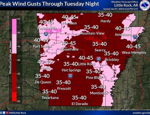
“The latest forecast still keeps the heaviest rainfall across the northwest half of the state through Friday night. Expect 2 to 4″, with locally higher amounts possible over 4 inches. Less than 2″ is expected across the southeast half of the state. An increased flash flood threat will be seen as a result, especially across the far northwest,” the National Weather Service’s Little Rock office wrote.
David Woods of Sharp County Skywarn/SAR wrote, “Baxter, Izard, Stone and Fulton counties are under a significant storm advisory. This storm has not reached the severe limits but I’ll watch it for you.”
Pamela Rowland of Sharp County Skywarn/SAR added, “There was a tornado warning for areas around Calico Rock [at approximately 3:22 p.m.]. That seems to have weakened. That storm is still headed towards Ash Flat. Keep an eye out for weather updates.”
Earlier in the day, David Woods wrote, “I have been watching radar very closely this morning. I do see heavy precipitation for our area over the next 24 hours. The national weather service has called for storms for our area during the same period. I think storms may stay primarily to our North but I’m going to be watching it real close and I will keep you informed.”
Sharp County Skywarn/SAR is a good source of frequently-updated local weather information for the tri-county area and can be followed here. They also have a notification system you can learn more about and sign up for here.


