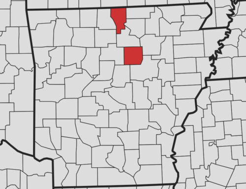
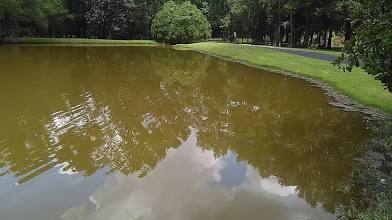
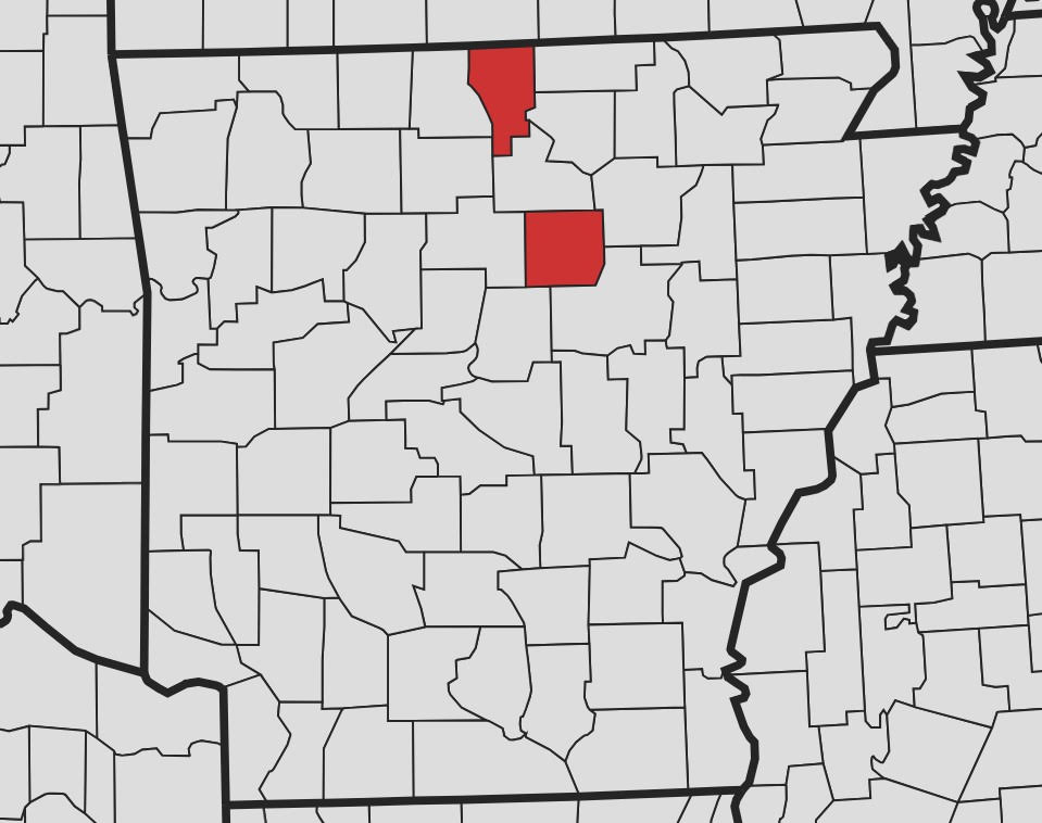
The National Weather Servide has issued a Flood Watch for Fulton, Izard, and Sharp Counties and surrounding areas from Sunday, April 24, 2022 at 1 p.m. through Monday, April 25, at 1 p.m.

Showers and thunderstorms will develop today out ahead of a slow
moving cold front. The rain may be heavy at times this afternoon
and tonight, particularly over portions of northern and western
Arkansas in the Ozark and Ouachita Mountains. Localized flash
flooding will be possible as showers and thunderstorms form and
repeatedly move over the same areas. Some rises on streams and
creeks could occur in and downstream of areas that see the
heaviest rainfall.

Also, isolated strong storms will be possible, especially this
afternoon and evening. Any strong storm will be capable of
producing gusty winds and marginally severe hail.

Showers and thunderstorms will continue into Monday as a frontal
boundary slowly moves into and through the state. The rain could
be heavy at times, Localized flash flooding will be possible as
showers and thunderstorms continue to form and move over the same
areas. Some rises on streams and creeks could occur in and
downstream of areas that see the heaviest rainfall.

The rain will gradually come to an end late Monday Night into
Tuesday. Additional showers and thunderstorms will be possible by
the end of the week.


